In comparison to yesterday, this day is short. It lengthen somewhat by the transiting of 14 bridges and one lock. Some of the bridges require openings and only open on a predetermined schedule; miss timing on one and it can greatly lengthen your whole day. Our total wait time for openings was only about an hour total. 
I am often asked, how do you know where you are and where you are going? At the helm of Laughing Turtle we have a number of systems to know exactly where we are and where we are going. First, is the paper marine chart. This is a book of maps of the entire coastal area that we will be transiting. These are most helpful in planning passage for the day and today for knowing the bridge locations, names and clearances. These charts are used in conjunction with ruler and the magnetic compass.
Secondly, we have a Furuno chart plotter (to the left above) that interfaces with a electronic version of the marine charts, GPS, depth sounder, auto pilot system and radar overlay. The LCD display provides us with our exact location, direction (heading) and locations of marine buoys and other navigational markers. Radar overlay provides up to a 48 mile range of land, navigational markers and other vessels. A must have when visibility is limited.
As a third backup option, I have a laptop computer connected to a USB Garmin GPS. I have a set of Fugawi Software marine charts. My GPS shows my exact location on the correct chart. This is not only a backup, but also has further information regarding buoy and marker numbers and local tide charts.
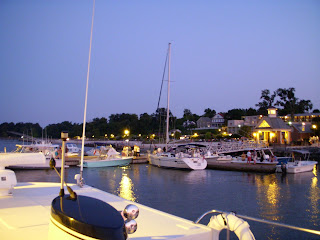
Arrived at Tidewater Marina in Portsmouth, VA at 4:30 PM. The Portsmouth, Norfolk, Hampton Roads, Newport News area is by far the busiest harbor I have seen from this perspective.


